Área de identidad
Código de referencia
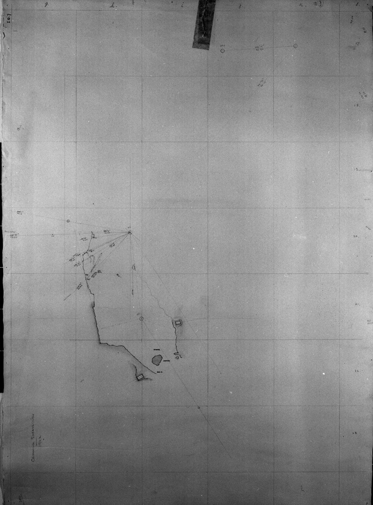
Carter MSS i.G.7
Título
Thebes. Valley of the Kings: map for Carnarvon excavations 1922
Fecha(s)
- 1922 (Creación)
Nivel de descripción
Unidad documental simple
Volumen y soporte
1 sheet
Área de contexto
Nombre del productor
(1874-1939)
Historia archivística
Origen del ingreso o transferencia
This material was sent to the Griffith Institute by Mr Walter Hauser from the Metropolitan Museum of Art, New York, in 1955.
Área de contenido y estructura
Alcance y contenido
Howard Carter's hand-drawn squared map with measurements, for the Carnarvon excavation area in 1922. The area between the tombs of Ramesses IX (KV 6) and Ramesses VI (KV 9), East Valley, Valley of the Kings, Thebes.
Valorización, destrucción y programación
Acumulaciones
Sistema de arreglo
Área de condiciones de acceso y uso
Condiciones de acceso
Property of the Griffith Institute. No restrictions.
Condiciones
Copyright Griffith Institute, University of Oxford.
Idioma del material
Escritura del material
Notas sobre las lenguas y escrituras
Características físicas y requisitos técnicos
- Scale not recorded
- 57.3 x 78 cm
- Housed in archival polyester L-Velope
Instrumentos de descripción
Área de materiales relacionados
Existencia y localización de originales
Existencia y localización de copias
Archived scan in Griffith Institute.